Demarcating Ban Gioc Waterfall
| Vietnam - China Land Border | |
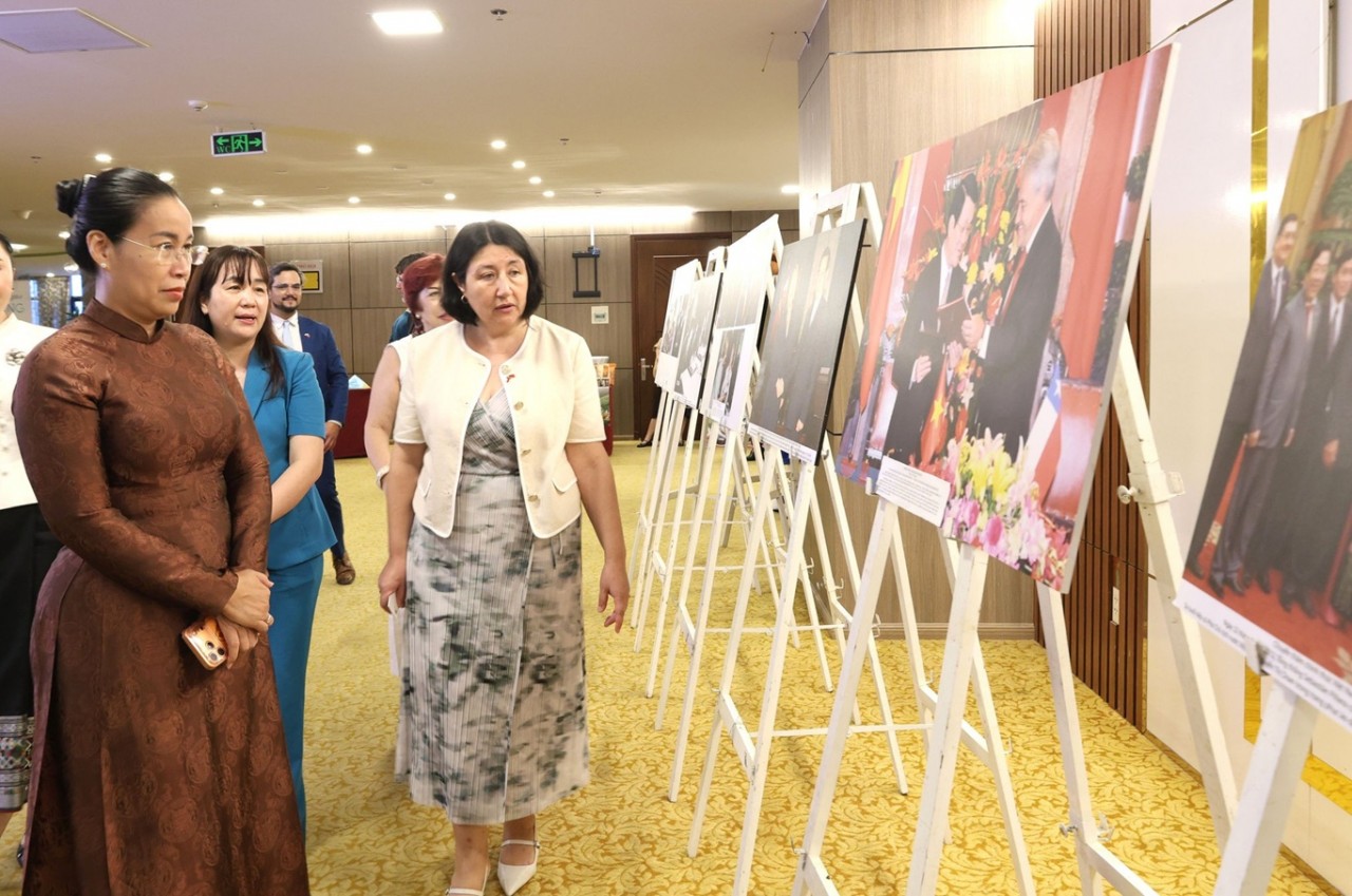
| VN, China discuss ways to foster bilateral cooperation amid COVID-19 pandemic | |
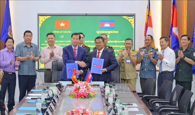
| Bac Luan 2 ridge connecting Vietnam, China opens |


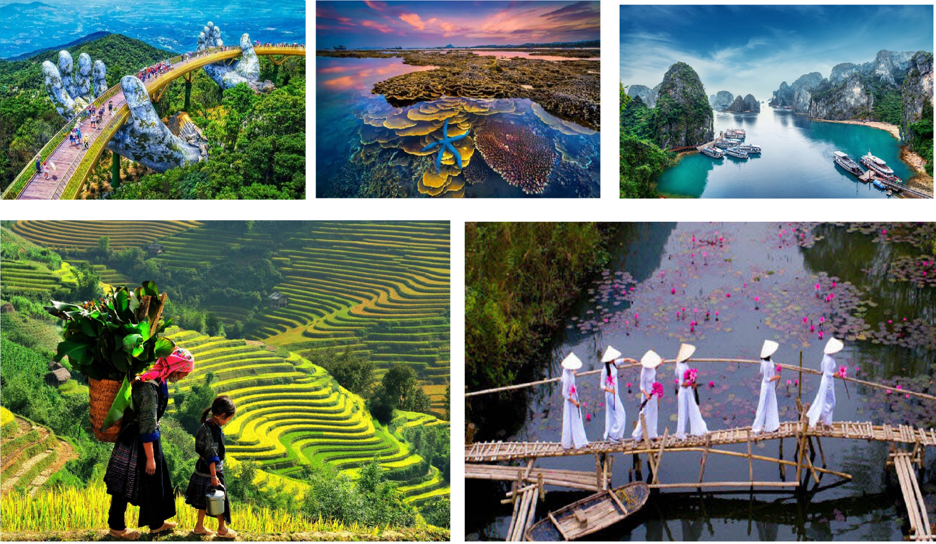
A wonder of the world
Ban Gioc Waterfall or Detian Falls is a group of waterfalls located on Quay Son River that straddles the border between Vietnam and China. From the foot of the waterfall, the left and the western half of the waterfall on the right are under the Vietnamese sovereignty in Dam Thuy commune, Trung Khanh district, Cao Bang province while the eastern half of the right waterfall belongs to Chinese sovereignty in Daxin County, Chongzuo city, China’s Guangxi Zhuang Autonomous Region.
Ban Gioc Waterfall also comprises of both main and secondary waterfalls with a total width of 208 meters. The Waterfall is divided into two parts including the Southern part called Upper waterfall, which is the secondary due to its limited amount of water and entirely belongs to Vietnam’s territory. The Lower waterfall is located in the Northern area of Vietnam- China border.
 |
| The panorama view of Upper Waterfall and Lower Waterfall in Bang Gioc. |
This is Southeast Asia’s largest natural waterfall and world’s fourth-largest among waterfalls located on borderlines between two nations, following Iguazu Waterfall (Brazil- Argentina), Victoria Waterfall (Zambia- Zimbabwe) and Niagara Waterfall (Canada – the US).
Besides, Ban Gioc Waterfall was also considered one of the four key C-zones in the process of the land border negotiations between Vietnam and China. Basing 1887-1895 Convention signed by France and China (The Ching Dynasty), maps and relevant historical documents, the borderline across Ban Gioc waterfall area is described to run between the Quay Son river to the top of the main waterfall (because Ban Goc waterfall is part of the Quay Son River). From the top of the mainstream of Ban Gioc waterfall, the borderline extends straight to landmark 53 on the right side of the mountain sitting on the left of the road.
Agree to adopt Sino-French Convention for delimitation foundation
The Memorandum of demarcation landmark abonnement between France and the Ching Dynasty on May 31, 1892, clearly noted: “From this point, the borderline runs along the middle (median) of the river to the Ta Tung Waterfall.” Follow the aforementioned description, both Vietnam and China drew the same borderline from the middle of Quay Son River to the middle of the main waterfall. The borderline drawings of the two sides were different when it comes to the top of the waterfall, where features two flows embracing the Po Don (Po Thoong) hillock, over which both Vietnam and China claimed territory.
When the two sides reached agreements on common principles of negotiating land border planning, Vietnam and China had to show the borderlines on the general topographic maps that previously agreed by both sides. The borderlines were determined by map, legal, and technical experts of the two sides and verified by relevant local authorities.
When the two countries exchanged their maps showing the borderline running through Quay Son River and Ban Gioc Waterfall, the details were almost identical, the only discrepancy was the borderline on the upstream of Ban Gioc Waterfall that had not been mentioned on the French- Sino convention.
 |
| The Upper waterfall is demarcated on the basis of the median flow considerating to the management practice. |
During the talk process, both Vietnam and China were not able to hand out evidence and legal documents to protect their claims over Po Thoong hillock, the two had to rely on the principles of international law and practices regarding border demarcation that had been agreed previously.
For the border crossing rivers and streams that boats cannot circulate, the borderline goes through the median of the main flow. Therefore, the landmark abordnement was measured and determined that the main flow is located on the Vietnamese side. If based on the aforementioned legal principles, the entire Po Thoong hillock would belong to China. However, under the deal that the two sides considered reminding the interest and actual management in the area to reach the most proper demarcation plan. As a result, the two sides agreed to determine that two-thirds of the borderline running through Po Thoong belong to China and the remaining one-third belongs to Vietnam.
Ban Gioc Waterfall features stunning natural landscapes that are valuable for sport and tourism activities for both countries. As a result, according to the international practices, Vietnam and China had to count on the cooperation agreement to exploit tourism in the Ban Gioc Waterfall area. In particular, have negotiated and signed an agreement to cooperate to exploit the tourist landscape on the basis of respecting the demarcated borderline in the field.
As the aforementioned situation, I think that the border and territorial disputes in this area have been resolved in a truly fair, objective, and demanding manner, completely in accordance with international law and practice. Not a chance Vietnam lost Ban Gioc Waterfall into the hands of China as some people accidentally or intentionally said.
Some invoked historical documents, literature, textbooks, even the White Book of the Ministry of Foreign Affairs publicized in the 1970s to confirm that the entire Ban Gioc Waterfall belongs to Vietnam. It is unfortunate that these papers that the cited were are not part of the 1887-1895 French-Sino Convention that Vietnam and China agreed to be the only legal basis for negotiating the establishment of a new borderline.
 | Dong Dang - Ping Xiang Railway Establishment: Disputes Suspended For Trains To Depart After the restoration of the Vietnam-China diplomatic relations, the resumption of negotiations to settle border and territorial disputes and the opening of the Dong Dang ... |
?") | Vietnam - China Borders Hotspots: Where is Ai Nam Quan (Friendship Pass)? After 20 years since the signing ceremony of the Vietnam-China Treaty of Land Border, over 12 years since the completion of border delimitation and abornement, ... |
 | Vietnam-China Border Management, Cooperation And Struggle History has shown that, at all times, the relation with the neighboring country need dexterity, flexibility, but equally strong-mindedness. |


Most read
Related Stories
 Seas and islands
Controversial 'Nine Dash Line' in Chinese films shown in Vietnam met strong opposition
 World
World
PM Modi takes a swipe at China and pushes for the UN reforms
 World
World
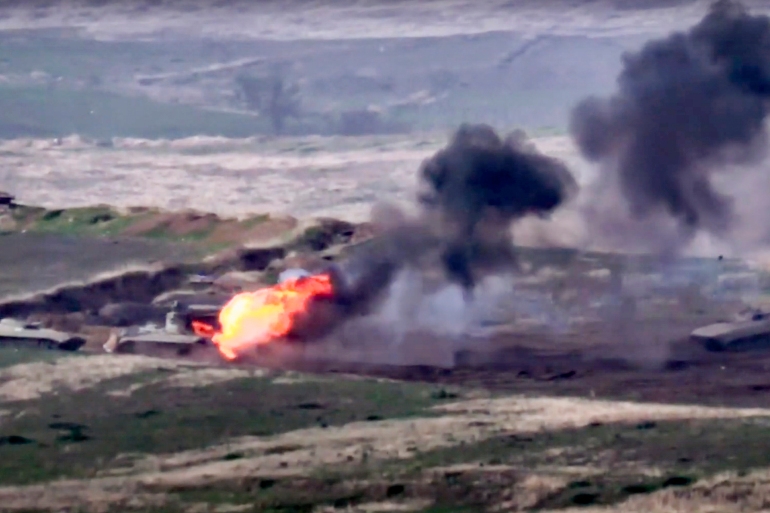
Latest news on Armenia-Azerbaijan clashes over disputed region
 Seas and islands
Vietnam-China Border Management, Cooperation And Struggle
In topics
 National
"Our coast is long, beautiful, we have to know how to keep it ..."
Recommended
 Seas and islands
Vietnam Reaffirms Goodwill in Adhering to 1982 UNCLOS
 Seas and islands
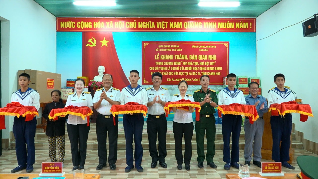
Naval Region 4 Handed Over Four Houses to Policy Beneficiary Families
 Seas and islands
Truong Sa: Every Family a “Living Landmark” on the Frontline of the Sea
 Seas and islands
Dream of Soldiers on a Remote Island
Popular article
 Seas and islands
Vietnam Chairs Opening Session of the 36th Meeting of States Parties to UNCLOS
 Seas and islands
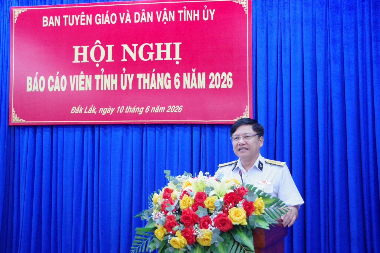
Promoting Love for Vietnam’s Seas and Islands in Dak Lak
 Seas and islands
Khanh Hoa Fishermen Bring Cameras Underwater
 Seas and islands