Bu Prang: Legal Grounds And Incomplete Documents


Differences in documents
The Committee on border delimitation between Nam Ky (Cochinchina) and Cambodia, which was established under a decree dated December 6, 1910, convened its third meeting on September 19, 1911. During the meeting, the committee described the border in the Bu Prang area as “the border…connecting the Dak Huyt River to its source” (The map attached to the minutes of the meeting has yet been found).
On July 31, 1914, the Governor General of Indochina issued Decree No. 1602 that read “the border…runs along the Dak Huyt River to its source.” (Two maps were attached to the decree, but only the first map that illustrates the border section from Point A through Point B to Point C has been found. The second may feature the next border section from Point C to Point D, and then to the source of Dak Huyt River as mentioned in Article 3 of Decree No. 1602, but it is not included in the documents being preserved at the National Archives Centre No. 2).
In 1952, the Indochina Geographic Service (SGI) illustrated the border on the Bonne map with a scale of 1/100,000 in the direction of the Dak Dang stream (northern branch), not the Dak Huyt stream (southern branch). This created an area between the two streams, namely Bu Prang that covers an area of 52 sq.km. This also resulted in differences in perceptions of both sides about the border in the area.
Legal viewpoints of the two sides
Before 1964, Cambodia maintained its view that Vietnam must return six provinces in Nam Ky and Phu Quoc Island to the country. The Cambodian side has begun to raise the Bu Prang issue since 1959 through a diplomatic note.
In March 1964, Cambodia sent Vietnam a draft protocol on the declaration of Cambodia’s neutrality and a Cambodia-Nam Ky land border map, along with a nautical chart, specifically the border on the 1/100,000 map published by the Indochina Geographic Service that was in use before 1954 with nine adjusted sites. The Cambodian side adjusted these sites on France’s Bonne map, spanning a total area of about 100sq.km, with Bu Prang the biggest with 52 sq.km.
Meanwhile, Cambodia held that islands in the north defined by Governor General of Indochina Brévié in 1939, plus the Tho Chu archipelago and southern islands of the Hai Tac (Pirates) archipelago, belong to the country.
 |
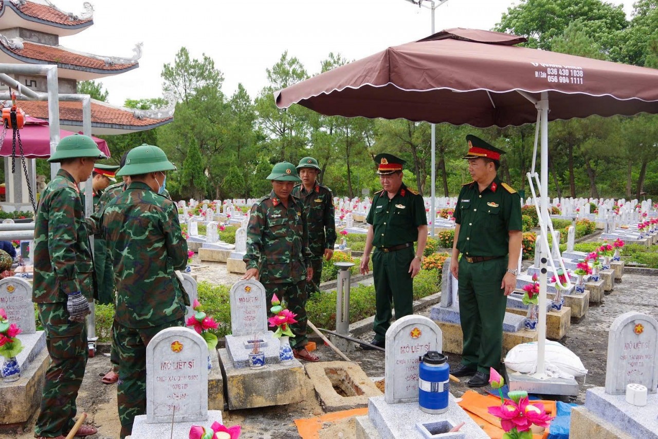
| The Commander of the Border Guard Station of the Bu Prang Border Gate offers incence to heroic martyrs. Photo: Phan Tan |
In 1967, the Democratic Republic of Vietnam and the National Front for the Liberation of South Vietnam officially recognised and committed to respecting Cambodia’s territorial integrity within the current border. During the 1980s, Vietnam and Cambodia worked together to trace the 1/100,000 Bonne map and the 1/50,000 UTM map illustrating the common border for negotiations.
As a result, both the original Bonne maps of France and the original UTM map of the US show that the border in the Bu Prang area heads to the Dak Dang stream (Bu Prang completely belongs to Vietnam). While signing the treaty on principles in 1983, the two countries agreed to use 26 pieces the 1/100,000 Bonne map published by the Indochina Geographic Service, which were in circulation before or closest to 1954, as the foundation for border talks and delimitation. In 1983, Vietnam and Cambodia signed the treaty on principles for the settlement of border issues. Article 1 of the treaty stipulates that “…the current border between the two countries illustrated on the 1/100,000 map published by the Indochina Geographic Service, which were in use before 1954 or up to that (attached with 26 pieces of maps recognised by both sides) is the national border of the two countries.”
In 1985, Vietnam and Cambodia signed a border delimitation treaty, which, together with attached maps, shows that the Bu Prang area forms part of Vietnam.
Changes in Cambodia’s viewpoints
During talks in 1998-2002, the Cambodian side suggested signing a treaty supplementing the 1985 border demarcation treaty, and adjusting the border towards the Dak Huyt stream so that the Bu Prang belongs to Cambodia.
Between 1999 and 2000, during the first, second and third rounds of the Vietnam-Cambodia joint border committee, the Cambodian side proposed adjusting the border in the Bu Prang area in accordance with Article 3 of Decree No. 1602 signed by the Governor General of Indochina on July 31, 1914.
On October 10, 2005, the two sides inked a treaty supplementing the 1985 border demarcation treaty. Under Point 2 of Article 2, they consented to “continue to discuss.”
During the recent mapping process, Vietnam has illustrated the Bu Prang area in line with the 1985 treaty (towards the Dak Dang stream), while Cambodia selected the Dak Huyt stream direction. The Cambodian side has based on the wording of the decree signed by the Indochinese Governor General in 1914 that described the border in the direction of the Dak Huyt stream in order to request the adjustment of the border on the 1/100,000 Bonne map, which, it said, does not match the decree.
 |
| Officers and soldiers of the Border Guard Station of the Bu Prang Border Gate join locals in a community activity. |
However, it should be noted that Cambodia’s interpretation was only based on the wording of the decree, but has not been verified by the attached map that is still missing. The Cambodian side has unilaterally illustrated the direction of the border in the area with its own interpretations since 1964 when the country sent the adjusted map to certain nations, including Vietnam, and to the UN for preservation. By doing this, Cambodia assumes that its views have been recognised internationally.
To protect its views, Cambodia said the Indochina Geographic Service takes responsibility for the mistake in publishing the map, as well as shortcomings in sites No. 6 and 7, which are among the seven sites proposed by China for adjustment in line with the Indochinese Governor General’s Decree. It said the two sides have based on the decree for the settlement.
“Continue to discuss”
In the spirit of truth seeking and respecting, Vietnam and Cambodia reached a treaty supplementing the 1985 border demarcation treaty on October 10, 2005, with Clause 2 of Article 1 prescribing that “as for the adjacent area between Quang Truc commune… and Dak Dam commune, the two sides agreed to further discuss.”
Obviously, despite the large number of documents collected at home and abroad, the map fully reflecting the wording of Decree No. 1602’s Article 3 (describing the border between Thu Dau Mot province and Kratie as the border area encompassing the Bu Prang area). Therefore, it can be said that the map has been long lost.
In addition, no documents of the Indochinese Governor General amending the contents of the Decree 1602 relating to the Bu Prang area have been found.
The maps published by the France, the US and the UK between 1914 and 1966 have illustrated the border with diverse types and scales. Most of them have shown the border running towards the Dak Dang stream in the north or in a shape coinciding with that of Dak Dang. Pieces of maps have also defined the border in the direction of Dak Dang although they include both branches in the upstream with clear names./.
 | Provinces sharing border with Cambodia take proactive measures against Chikungunya virus Four Southern Provinces of Dong Thap, An Giang, Binh Phuoc, and Long An have taken proactive preventative measures against the disease caused by the Chikungunya ... |
 | A decade of Vietnam- China land border delimitation As soon as the normalization, in 1991, Vietnam and China enhanced negotiation on border demarcation. On December 30, 1999, the land border delimitation treaty between ... |
 | The Definition of National Territory and Border In this article, the author - Dr. Tran Cong Truc, shall discuss basic definitions relating to national borders. |


Most read


Related Stories
 Viet's Home
Quang Tri Provincial Authority Widen Scope For Search of Fallen Soldiers’ Remain Amidst Limited Information
 World
World
French Adventurer to Cycle 19,000 km to Vietnam, Taking on 14 of Asia and Europe's Highest Passes
 Viet's Home
Strengthening National Coordination Mechanism for Persons with Disabilities
 Handbook
Copyright and Cultural Industries: “Soft Key” for Vietnam to Reach the World
Recommended
 Seas and islands
Truong Sa: Every Family a “Living Landmark” on the Frontline of the Sea
 Seas and islands
Dream of Soldiers on a Remote Island
 Seas and islands
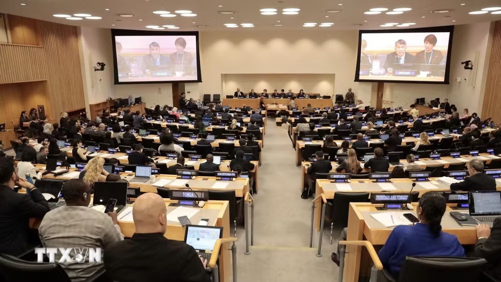
Vietnam Chairs Opening Session of the 36th Meeting of States Parties to UNCLOS
 Seas and islands
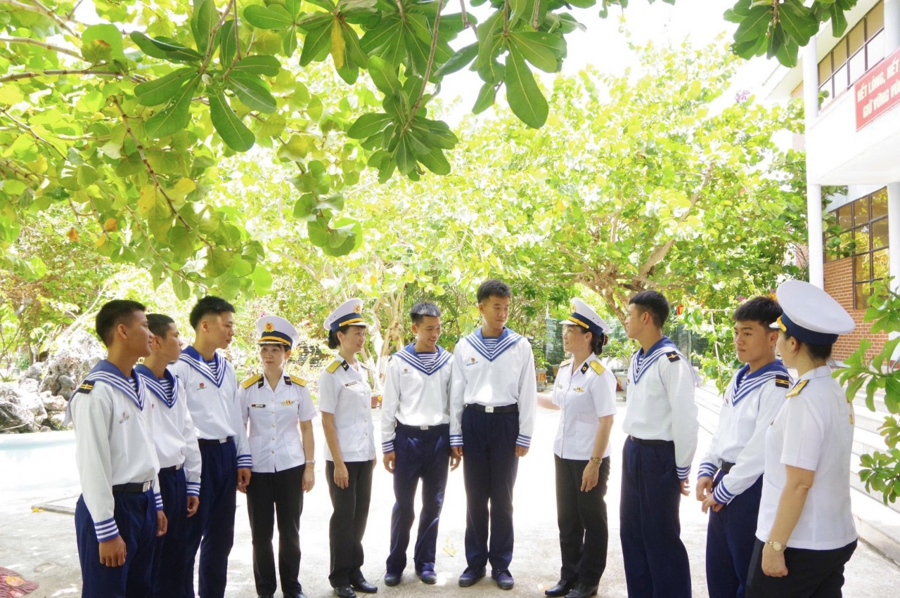
Promoting Love for Vietnam’s Seas and Islands in Dak Lak
Popular article
 Seas and islands
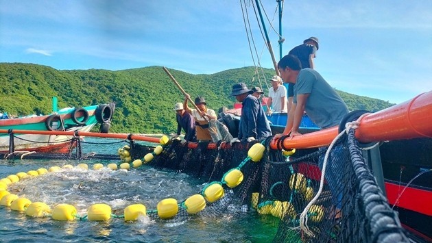
Khanh Hoa Fishermen Bring Cameras Underwater
 Seas and islands
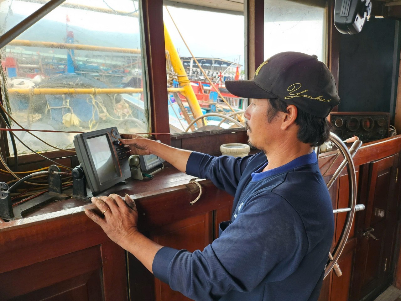
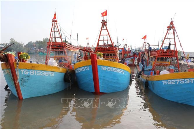
Modern Technology Implemented in Crackdown on IUU Fishing
 Seas and islands
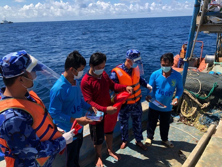
National Steering Committee Strengthened for IUU Fight and Sustainable Fisheries
 Seas and islands