Non Nuoc Cao Bang Geopark through the lens of well-known Slovak photographer
| Cao Bang: Children benefit from ChildFund Vietnam bicycles donation | |
| Cinnamon tree helps Bao Lac farmers escape poverty | |
| Great result for 5-year development project in Cao Bang province |


 |
| Non nuoc Cao Bang Geopark |
Located in the northern and eastern districts of Cao Bang Province in Northeast Viet Nam, Non nuoc Cao Bang UNESCO Global Geopark covers a total area of 3,000 km2. Mountainous landforms cover approximately 90% of the land area, with elevations ranging from 1,500 to 2,000 m in the west-northwest to 200 m in the east-southeast. With a highland tropical monsoon climate and two distinct wet and dry seasons, the Geopark exhibits a rich biodiversity, with widespread forests, endemic faunas and floras, herbs, specialty crops etc. The region has a complex drainage network that includes 5 major river systems and 47 lakes.
Non nuoc Cao Bang UNESCO Global Geopark is divided into two distinctive parts by the Cao Bang-Tien Yen deep-seated active fault.
The eastern part of the Geopark is mostly composed of limestone. This demonstrates a complete tropical karst evolution cycle with various classic landforms e.g. peak-cluster depressions, cones and towers, old and active caves with magnificent speleothems, closed and interconnected valleys, underground and surface rivers including a ‘turlough’ lake system, and one of the world’s largest waterfalls located on an international border.
The western part features sedimentary rocks, pillow basalts, ultra-mafic and granitic intrusions rich in minerals and hydrothermal alterations. The area also reveals sedimentary rocks dating back more than 500 million years, with stereotype cross-sections, and fossils indicating different paleo-environments and biosphere extinction events.
The diversity in rocks (stratigraphy, paleontology, paleo environment, petrology, mineralogy etc.) and landforms (tectonics, geomorphology, karst, weathering, soil erosion etc.) are evidence of the geodiversity of the area, each with its own characteristic of different evolutionary stages of the Earth’s crust.
 |
| Ban Gioc Waterfall |
 |
| Thung Phja Piot mountain in Cao Bang |
 | Great result for 5-year development project in Cao Bang province New Zealand Ambassador to Viet Nam, Wendy Matthews, travelled to Cao Bang province to visit communities involved in the New Zealand-funded project “Building Strong and ... |
 | Cao Bang province: 1500 people to receive free health check-up this month In July, the Good Samaritan Medical and Dental Ministries (GSMDM) (USA) will conduct humanitarian medical examination for 1,500 poor people in Cao Bang province. |
 | Cao Bang and Bac Kan provinces received medical equipments VinaCapital and VinaCapital Foundation (VCF) announce a donation of VND 2.3 billion (USD 98,900) to Cao Bang and Bac Kan to assist the two provinces’ ... |
Related Stories
 Travel
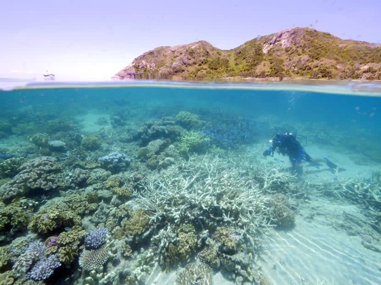
Top Coral Reef Diving Destinations in Viet Nam for Summer 2026
 National
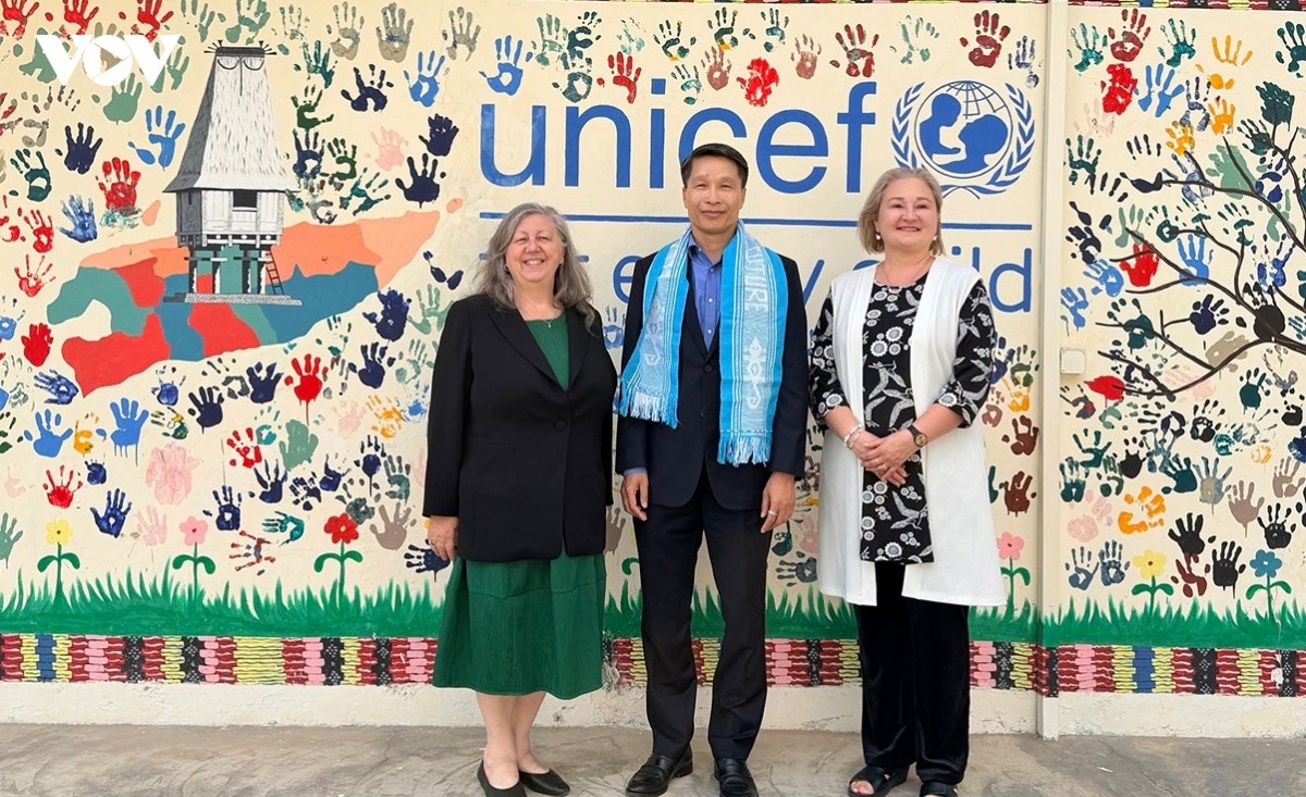
Vietnam News Today (July 12): Vietnam Ready to Share Digital Transformation Experience with Timor-Leste
Recommended
 Travel
"Discover Moscow" - Tourism Information Ecosystem Launches Vietnamese Version Platform
 Travel
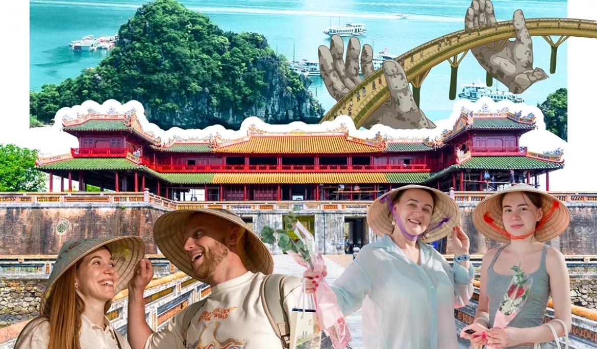
Leveraging Cuisine to Elevate Vietnam's Tourism Brand
 Travel
Ho Chi Minh City Boosts Tourism Revenue Through High-Value Visitor Strategy
 Travel
Vietnam Ranks First in Number of Foreigners with Long-Term Stays in RoK
 Travel
Bringing Essence of Vietnamese Cuisine Closer to Europe and the World
 Travel
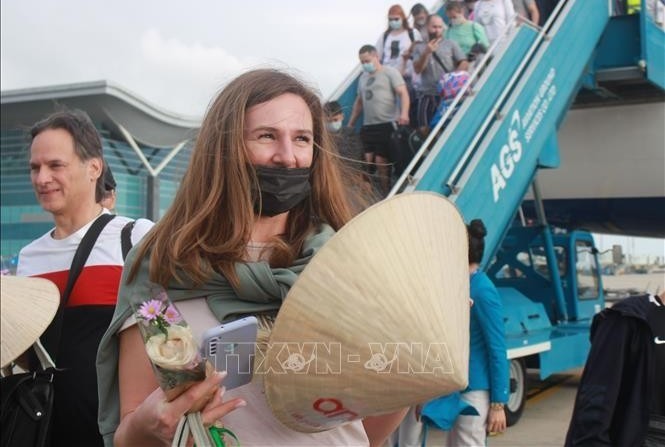
Russian Arrivals to Vietnam Nearly Triple in First Half of 2026
 Travel
French Magazine Highlights Must-Try Dishes of Vietnam Cuisine
 Travel