Phia Po Peak - a trekking journey to the "roof" of Lang Son
| Mau Son Mountain covered by frost due to the first cold spell | |
| Photos on DPRK leader Kim Jong-un displayed in Lang Son province | |
| Dong Lam steppe, a new destination for camping in the North of Vietnam |


Phia Po Mountain, or Cha Mountain, is part of the Mau Son mountain complex in Lang Son Province, northern Vietnam. It is 30 kilometers from Lang Son Town and 200 kilometers from Hanoi.
Tourists from Hanoi often take a two-day-one-night trip to the summit, called the "roof" of Lang Son. They start by car or motorbike to the foot of the mountain, then hire a guide and porters to carry gear such as tents and food to the top.
 |
| Photo: VnExpress |
The journey to Phia Po peak is divided into two stages. The first is trekking 3.5 kilometers from the foot of the mountain to a campsite, where tourists can rest and spend the night. The next day sees the ascent to the peak. The total distance is about 14 kilometers.
The trail to the mountain peak is not too long but steep and is newly opened. People with good fitness can finish the trip in a day, while those who want to enjoy the trek with more rest are recommended to follow the full two-day-tour.
 |
| Photo: VnExpress |
On the first day of the trip, it takes visitors three hours to travel from Hanoi to Loc Binh District, Lang Son. They can have lunch there before going to the foot of Phia Po Mountain and starting their trek journey in the afternoon.
At first, travelers will pass through dense forests on narrow paths skirting the roots of enormous trees and boulders. The following terrain is gentle hills, covered with low grass.
In fall, the hill grass turns a bright yellow. In spring and winter, the mountains are always misty. Currently, in April, the Phia Po mountain valleys are covered with white clouds, making the view even more mystic.
The journey from the foot of the mountain to the camping site takes about two to 2.5 hours. It may take longer for those who are not physically strong or for photography buffs.
Tourists will stay here the night. At night, the temperature fluctuates from 19 to 22 degrees Celsius, with little or no significant rain. Visitors should bring an extra set of clothes and socks in case they get wet.
") |
| On the second day, the journey involves about three to 3.5 kilometers of walking through a steeper and denser forest. In the rainy season, mosquitoes and leeches are rampant, so visitors need to wear headscarves, long-sleeved clothing, and carry insect repellent. (Photo: VnExpress) |
Even on the weekend, visitors would encounter very few other trekkers. The biodiversity of the landscape, not to mention the ever changing cloud patterns, makes every step a surprise.
Trekking Phia Po peak in April, visitors can also catch some wild forest flowers blooming along the way such as pink Azalea, bell-shaped peach, orchids and many others.
The last stretch to reach the top of Phia Po resembles the back of a giant dinosaur, covered by shrubs, tall grass, and trees. During rainy days, visitors can enjoy a sea of clouds from here.
 |
| Photo: VnExpress |
Next to the mountain is a forest of ancient Azalea trees with their roots and trunks under moss and lichen. On the second day, tourists ascend to the top in the morning, then return to the campsite for lunch, recover their tents and descend the mountain in the afternoon to return to Hanoi in the evening.
A two-day-one-night camping and trekking tour costs VND1.5 million ($65) per person. The fee includes both tour guide and porters. If tourists bring their own food and tents, the cost drops to VND500,000 per person a day, including tour guide and porters.
Currently, Dinh Van Hong, 32, with more than three years' experience as a tour guide, is the only person organizing Phia Po trekking tours.
 |
| Photo: VnExpress |
Lang Son - Perfect destination for travelling and trekking
Lang Son is a northeastern province which is located on the Sino-Vietnamese border over a stretch of 253km. The capital of Lang Son, 500m above sea level, is situated on the left bank of Ky Cung River. Opposite the town and on the far side of the river is Ky Lua Market. The market is accessible by means of the Ky Cung bridge. Standing on the bridge, visitors can see a high mountain peak resembling a woman with a baby in her hands.
Lang Son is a frontier mountainous province in the North-East of Vietnam. It shares border with Cao Bang Province on the south, Bac Giang Province on the north, Guangxi (China) on the east, Quang Ninh Province on the north-east and Bac Kan, Thai Nguyen provinces on the west.
Mountains and hills cover over 80% of the province's total area. The complex network of rivers makes a good condition for agriculture. Main rivers that run through the province are: Ky Cung, Ba Thin, Bac Giang, Bac Khe, Thuong, Hoa, and Trung rivers.
Lang Son has two international border gates including Dong Dang railway border gate and Huu Nghi road border gate, two national border gates such as Chi Ma (in Loc Binh District) and Binh Nghi (in Trang Dinh District)... So Lang Son has an important strategic position in the North-East of Vietnam.
History of the province is the history of Lang Son town. Ancient history is traced to the Bronze Age. This period is marked by the trade route that existed between China and India that passed from the Red River Delta through Nanning to Guangzhou. 7000–9000 years ago the limestone caves of the province were inhabited by early settlers of the Bac Son culture.
The Dinh kings (968-980) encouraged the growth of trade in the region and requested to the Sung emperors of China that they establish trade relations at Yong Zhou.The Chinese Annals have revealed that the Vietnamese trades perfumes, elephant ivories, rhinocerous horns, gold, silver and salt in return for Chinese fabrics. Later, under the ly Dynasty an extensive market was established at Vinh Binh on the Ky Cung River.
During the reign of the Ming Dynasty, during the period 1527 and 1592, Lang Son was vastly fortified in view of its strategic importance at the border, which are seen even now; a citadel of this dynasty is located to the west of the Lang Son town on a lime stone rock outcrop.
Lạng Sơn was one of the 13 original provinces in northern Vietnam that were created under the reign of Emperor Minh Mạng in 1831; since the establishment of the Nguyen Dynasty in 1802 until then, northern Vietnam had been under the rule of a viceroy.
The climate is cool and temperate. Annual average temperature is 21.5ºC. Annual average rainfall is from 1200mm to 1600mm.
 | Late night wedding - a unique custom of Yao ethnic community in Vietnam The Yao ethnic community in Mau Son commune, Lang Son province, northern Vietnam is famous for its late night marriage custom. |
 | Huu Lien: The convergence of green grasslands, ideal getaway from summer Huu Lien Commune in northern Vietnam's Lang Son Province with lush grasslands, majestic mountains, and jade springs offer tourists idea places to escape from the ... |
 | Samsung builds school for disadvantaged children in Lang Son Samsung Electronics Vietnam Co., Ltd, the Korea Food for the Hungry International (KFHI) organization of the Republic of Korea (RoK), the provincial Department of External ... |


Most read


Related Stories
 Travel
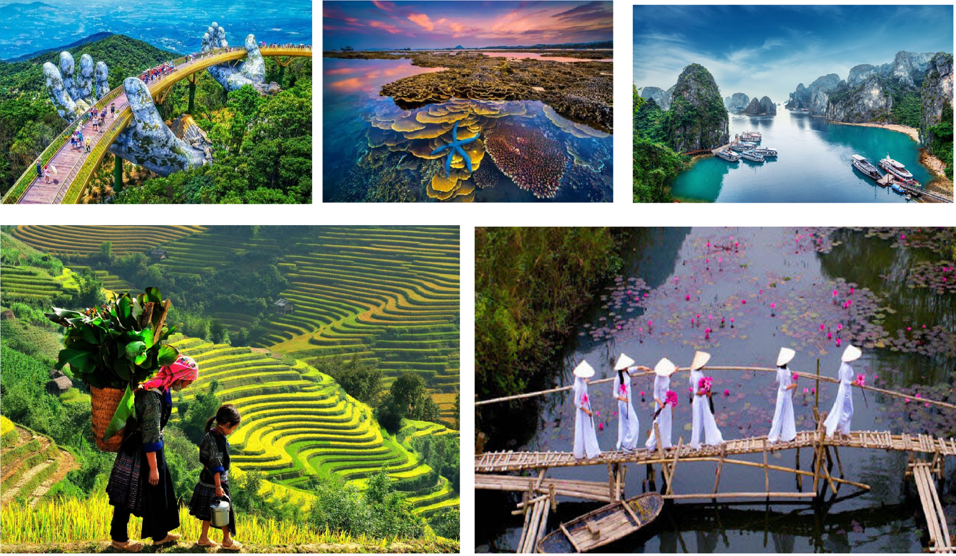
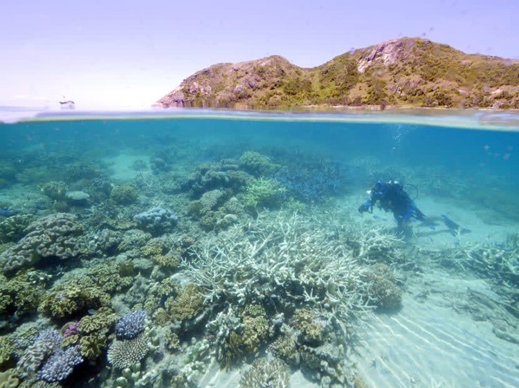
Top Coral Reef Diving Destinations in Viet Nam for Summer 2026
 National
Vietnam News Today (July 12): Vietnam Ready to Share Digital Transformation Experience with Timor-Leste
 National
Vietnam News Today (July 10): Third Vietnam-Laos Border Defense Friendship Exchange Gets Underway
 Travel
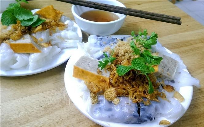
French Magazine Highlights Must-Try Dishes of Vietnam Cuisine
Recommended
 Travel
Leveraging Cuisine to Elevate Vietnam's Tourism Brand
 Travel
Ho Chi Minh City Boosts Tourism Revenue Through High-Value Visitor Strategy
 Travel
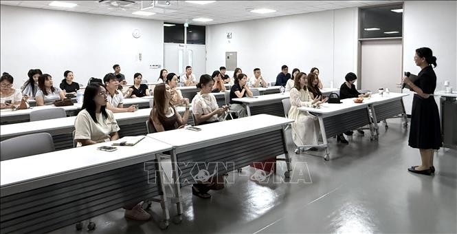
Vietnam Ranks First in Number of Foreigners with Long-Term Stays in RoK
 Travel
Bringing Essence of Vietnamese Cuisine Closer to Europe and the World
Popular article
 Travel
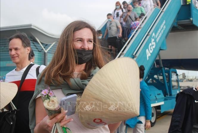
Russian Arrivals to Vietnam Nearly Triple in First Half of 2026
 Travel
Can Tho Diversifies Tourism Products to Attract More Visitors
 Travel
Developing Phong Nha-Ke Bang into a World-Class Tourist Destination
 Travel